How to Find Vantage Points Using Mapping Software

It's never a bad idea to have a few glassing areas in mind before heading out. This can be done by using one of the many tools available online.
A great way to begin your online scouting is by finding the habitat range of the animals you would like to see. States use different software to map wildlife ranges. For instance, Nevada uses ArcGIS while Colorado uses GeoData. A web search like “Colorado deer winter habitat map” should yield a statewide distribution map.
Once you find a general area you are interested in exploring, Google Earth has the best resolution and features to find a good spot. I like to look for water, cover, and feed features. Knowing more about what animals need at different times will help you find promising terrain. It can also be helpful to reference property mapping software like onX or Gaia to see property boundaries. While you cannot enter private property without permission, you can often look over it. As animals are generally less pressured on large ranches, it can be a good place to watch them.
Next find your spots. It is often best to find a few different spots as sometimes all the best online scouting is dashed by boots-on-the-ground-reality. Yes, sometimes the real world kicks you in the crotch despite all your online research.
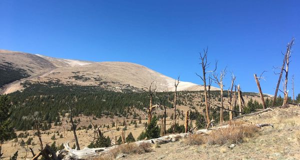
In Google Earth it is helpful to use the tilt feature. Look for higher features: hills, ridges, cliff bands. These can offer panoramic views. Also, keep an eye on the vegetation. A high point with trees or brush probably won't offer expansive views. Look for clearings and meadows as these often offer more unobstructed views. It can be helpful to use Google’s Street View option to get an idea of how things might look from the ground.
Spending some time online, or even with a good old topo map, before heading out can make your glassing adventure much more productive by having your glassing points lined up.